“It says we can see this island at sixty degrees starboard, so have to be here, just off that rock.”
“No way, sixty degrees starboard means we’re already way past that island, so we must be right here… wait, that looks like dry land?!”
And on and on, for another two hours it went, before we solved our position and direction, using some very unorthodox methods of projecting off the map. Reading a map is relatively easy when you know where you are. But how about when you are out at sea, need to broadcast your position to ask for help, and you think you recognize a landmark off the map but have no idea exactly where you are? For very obvious reasons, this type of problem was the main one, repeated throughout my sister’s navigation course book.
In the end, navigation with a map is all very simple logic and trigonometry, but boy did it take me hours and a quite some googling to swipe away the dust and cobwebs over the section in my brain that stored the crumbled remains of a navigation course I attended some fifteen years ago. My sister pushed on with admirable resilience, after realizing that the classes she invested in all fall would not guarantee a passed exam. Two days later and with the help of Youtube tutorials (in Danish!) we were finally able to find ourselves, on demand.
(My sister’s exam was canceled due to COVID, of course. But hopefully this time around the skill is not lost).
(Loviisa, Finland; December 2020)


 Shinrin-yoku, or forest-bathing, every day. The Japanese prefer slow mindful sauntering instead of aerobic hiking. As a form of nature therapy, shinrin-yoku means not only crossing through a wood, but bathing in it: letting it fill one’s lungs, ears, nose, and eyes. It means not talking or listening to music, but listening to the birds, the grasshoppers, and the wind in the trees. And it means wandering off the path to caress the warm, dry bark of a tree, just because it feels like the best thing to do at the moment.
 That is why forest-bathing is best done alone. And while I like to alternate between running and walking through the forests in Loviisa, I still do it every day. And I come out from the forest feeling very centered and alive.
 (Loviisa and Kotka, Finland; June 2020)
 Partial lockdown started March 11th. All schools, kindergartens, and universities moved to virtual classes. Most shops and services closed, including all body-working services such as hair salons, masseuses, and fitness centers. My work continued as before, with the difference that I could no longer travel to Belgium to our regional headquarters, or do all the cross-European country local board meetings I had planned.
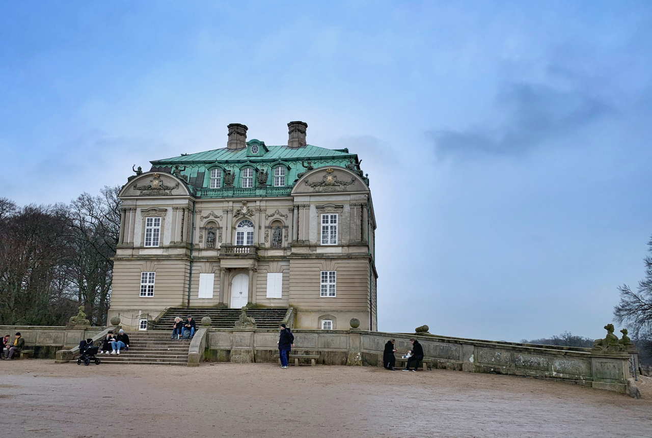
  Instead I squeezed in daily walks or runs, just to get outside. When lockdown was imposed, the sun came out. It shone from a cloudless sky most of two months. Weekend walks turned into long ambles, thirstily seeking fringes of green across the sprawling city center. Copenhagen parks are not natural oases to get lost in. But they are reviving, and after a dark cold winter, really any trees and green grass are reviving.
 (Copenhagen, Denmark; April 2020)
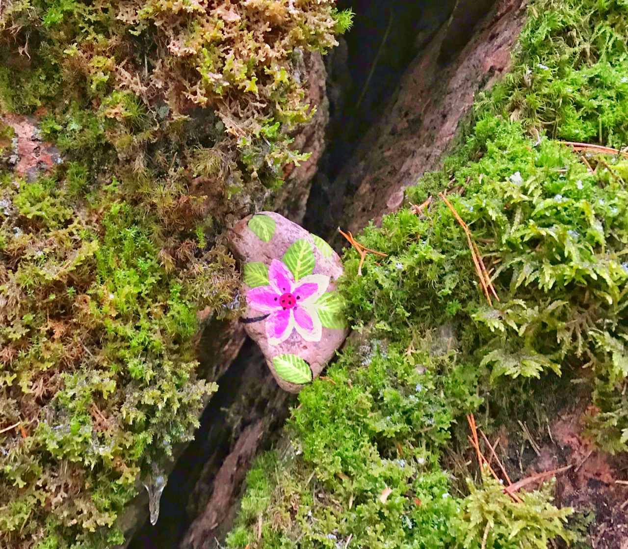 Somebody thought the huge boulders in the forest needed decorating. The green moss is gorgeous on its own, but a little pink sure does spruce up any spruce forest.
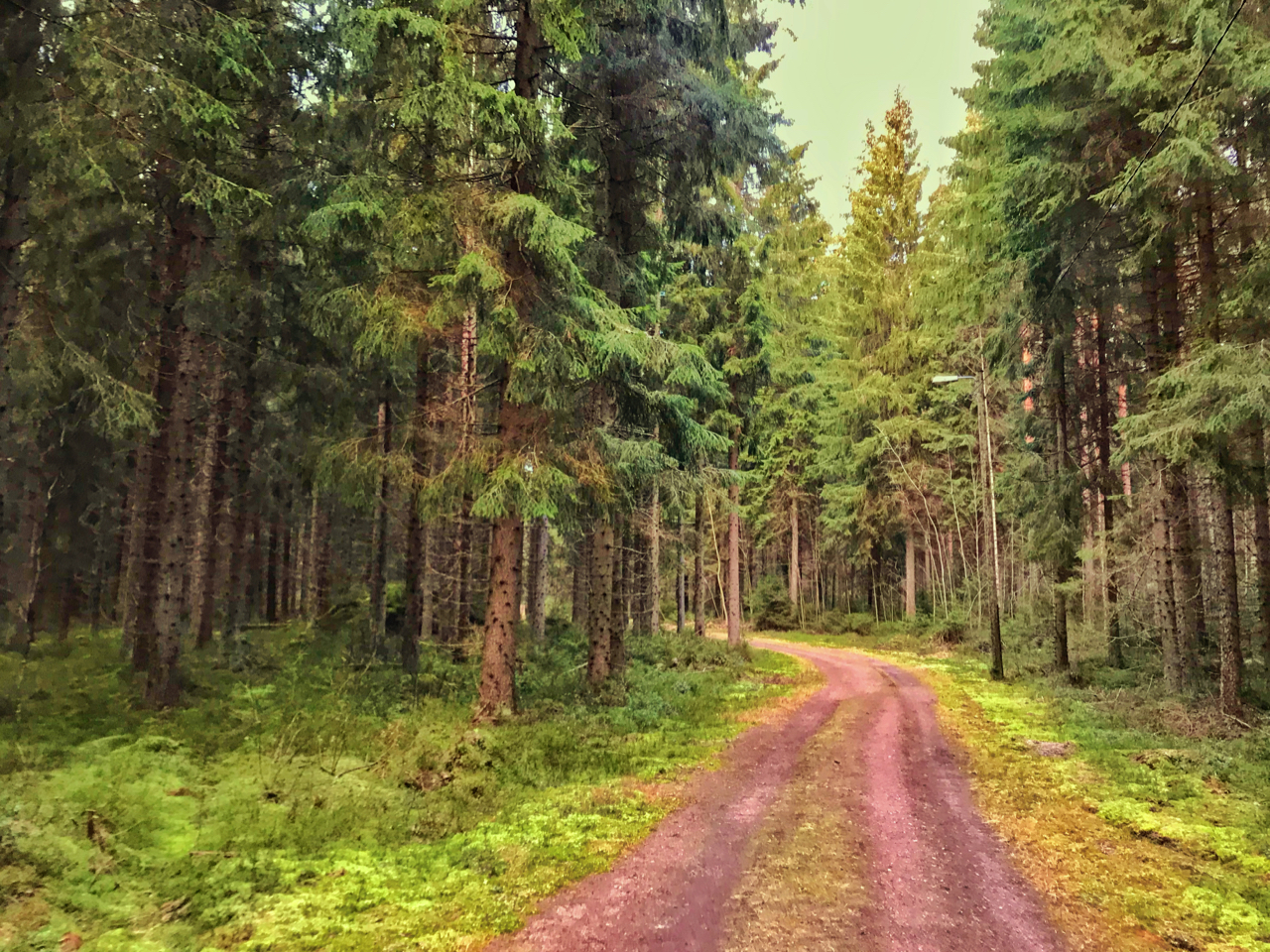 (Loviisa, Finland; December 2019)
 What’s the deal with deer parks in Denmark? Sofar I have run into deer parks in my both hometowns Brande and Vejle, as well as in Aarhus. And I know there are several around Copenhagen. The Danes sure seem to love deer.
 (Marselisborg Deer Park, Aarhus; October 2019)